
Using GAIA GPS for Scouting
Discover how GAIA GPS has revolutionized my location scouting workflow for landscape photography, replacing traditional handheld GPS units with powerful smartphone-based tools that include photo waypoints and comprehensive mapping features.

From Handheld GPS to Smartphone Simplicity
Until recently I had been using GAIA GPS only to help find and follow off-road routes to photographic locations or to find new hiking routes I was interested in exploring and used a handheld Garmin GPS for location scouting. GAIA is excellent for finding routes, you simply use the map and zoom into the area you are interested in. Once on the map click the overlays dropdown and add public trips to show all of the routes other users have created and published from this area. When you first bring the public trips overlay it can be a bit overwhelming but zooming in greatly narrows the clutter.
The Garmin was a good way to mark locations but it was time-consuming to enter enough relevant information through the joystick input. The saving grace was that once I was back at home I could download the data from the hand-held device into the Garmin app on my laptop for further work. This worked well for me for many years but after a while, I would forget what was at a location because the name I gave wasn't descriptive enough.
The Power of Photo Waypoints
When you find a good location you can also open the GAIA app on your phone and click the ⨁ symbol at the top and select "take picture". This will bring up the camera of your phone and allow you to take a photo. Once you click Use Photo a waypoint will automatically be created for your on that location with a time and date stamp along with your photo attached to it. Now when you go back through your waypoints you will have a photo to remind you of exactly how the scene looked.

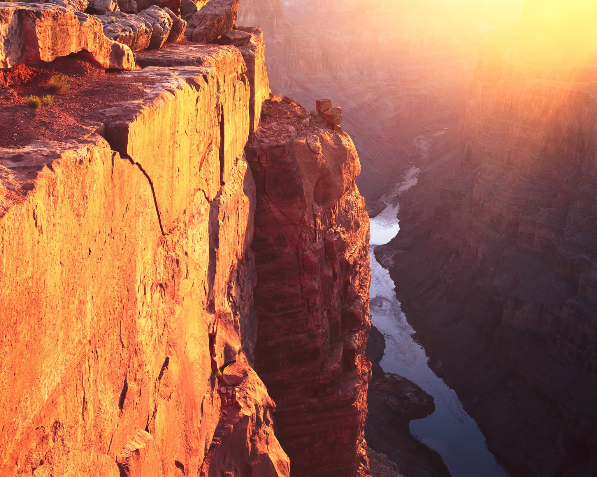
GAIA GPS interface showing the photo waypoint feature and mapping capabilities
Simplified Equipment and Enhanced Features
Since I always have my phone on me anyway using the GAIA app simplified what I need to carry. I no longer need to carry my Garmin handheld GPS, or worry about buying expensive maps, nor do I have to worry about having extra AA batteries. All of this and GAIA actually has more features and works better for my needs.
Offline Maps and Download Strategies
One of GAIA GPS's most valuable features for landscape photographers is the ability to download maps for offline use. Many of the best photographic locations in the American Southwest are in remote areas with limited or no cellular coverage. By downloading relevant map sections before your trip, you maintain full navigation capability even when completely off the grid. The app allows you to download multiple map layers including topographic, satellite imagery, and even specialized layers like fire history or land ownership boundaries.
I've learned to be strategic about which areas I download. Before any major photography expedition, I download all the maps within a 50-mile radius of my intended shooting locations. This buffer zone has saved me multiple times when interesting side roads or alternate routes presented unexpected opportunities. The satellite imagery layers are particularly useful for identifying potential compositions from above, allowing you to spot features like interesting rock formations, water features, or patterns in vegetation that might not be obvious from topographic maps alone.
Route Planning and Tracking Features
Beyond simple waypoint marking, GAIA GPS's route planning capabilities help photographers estimate hiking times and terrain difficulty before committing to a location. The app displays elevation profiles for any planned route, showing total elevation gain and loss, which is crucial when you're carrying 40+ pounds of large format photography equipment. I've avoided several poorly-planned expeditions by checking these profiles and realizing that certain locations would require more physical exertion than the photographic payoff justified.
The tracking feature also serves as a valuable safety tool. I always enable tracking when heading into remote areas, creating a breadcrumb trail that shows my exact path and timing. This track can be shared with family or friends who can monitor your location in real-time (when in service areas) or can be used by search and rescue if needed. Additionally, reviewing these tracks after trips helps me identify the most efficient routes to locations I plan to revisit, saving time and energy on future expeditions.
Integration with Photography Workflow
GAIA GPS has become deeply integrated into my entire photography workflow, from initial research through final image selection. During the research phase, I use the app to identify potential shooting locations by overlaying different data sources. The combination of topographic information, satellite imagery, and user-contributed routes often reveals hidden gems that wouldn't be apparent from any single source. I can mark multiple potential locations as waypoints with different colors or symbols to indicate priority or time-of-day suitability.
After a photography session, the geotagged photos in GAIA GPS serve as a valuable reference when I'm back in the studio editing images. I can see exactly where I was standing for each shot, which helps me remember the context and make better editing decisions. The photos also help me plan return visits during different seasons or lighting conditions. When reviewing old waypoints, the attached photos instantly remind me of the scene's potential and what improvements I might attempt on a future visit. This visual reference system has proven far more effective than text notes alone, and has helped me build a comprehensive location database spanning hundreds of sites across the Southwest.
Conclusion
The transition from traditional handheld GPS units to smartphone-based GAIA GPS has dramatically improved my scouting workflow. The ability to instantly capture and geotag reference photos has solved the problem of forgetting location details, while the comprehensive mapping features and user-contributed routes have opened up new possibilities for discovering photographic locations. Combined with offline map capabilities, route planning tools, and deep integration with my photography workflow, GAIA GPS has become an indispensable tool for landscape photography in the American Southwest. For photographers looking to streamline their scouting process while enhancing both safety and creative possibilities, GAIA GPS offers a powerful, all-in-one solution that eliminates the need for multiple devices while providing enhanced functionality far beyond traditional handheld GPS units.
GAIA GPS is just one part of effective field preparation. For a broader look at how thorough advance work translates into better images, read my article on the importance of scouting for landscape photography.
Explore Related Photography
Enjoyed this article?
Subscribe for more photography stories, techniques, and exclusive behind-the-scenes content.
Related Posts
Grand Canyon Photography Guide: Best Spots, Light & Timing
The famous south rim overlooks are worth making. But the Grand Canyon images I keep coming back to came from a remote western overlook that requires 60 miles of unpaved road to reach — and from the North Rim in October, when the crowds are gone and the canyon light gets serious.

Best Places to Photograph Snow-Covered Mountains in Winter
Winter transforms mountain landscapes in ways no other season can. Where to go, when to go, and what to expect — from Yosemite's granite walls under fresh snow to Zion's red canyon in a storm.

Analog Landscape Photography: Why Film Still Makes Sense in 2026
Most photographers who've tried 4x5 large format film don't go back to digital for their serious landscape work. Here's the honest case for shooting analog in an era when you have no practical reason to.
Tags

Marty Quinn
Large format film photographer based in Phoenix, Arizona. Shoots on 4x5 Arca-Swiss view cameras across the American Southwest — Utah, Arizona, Death Valley, and the Colorado mountains. 25+ years behind the lens. Published in Outdoor Photographer magazine (The Last Frame, June 2008). About Marty →